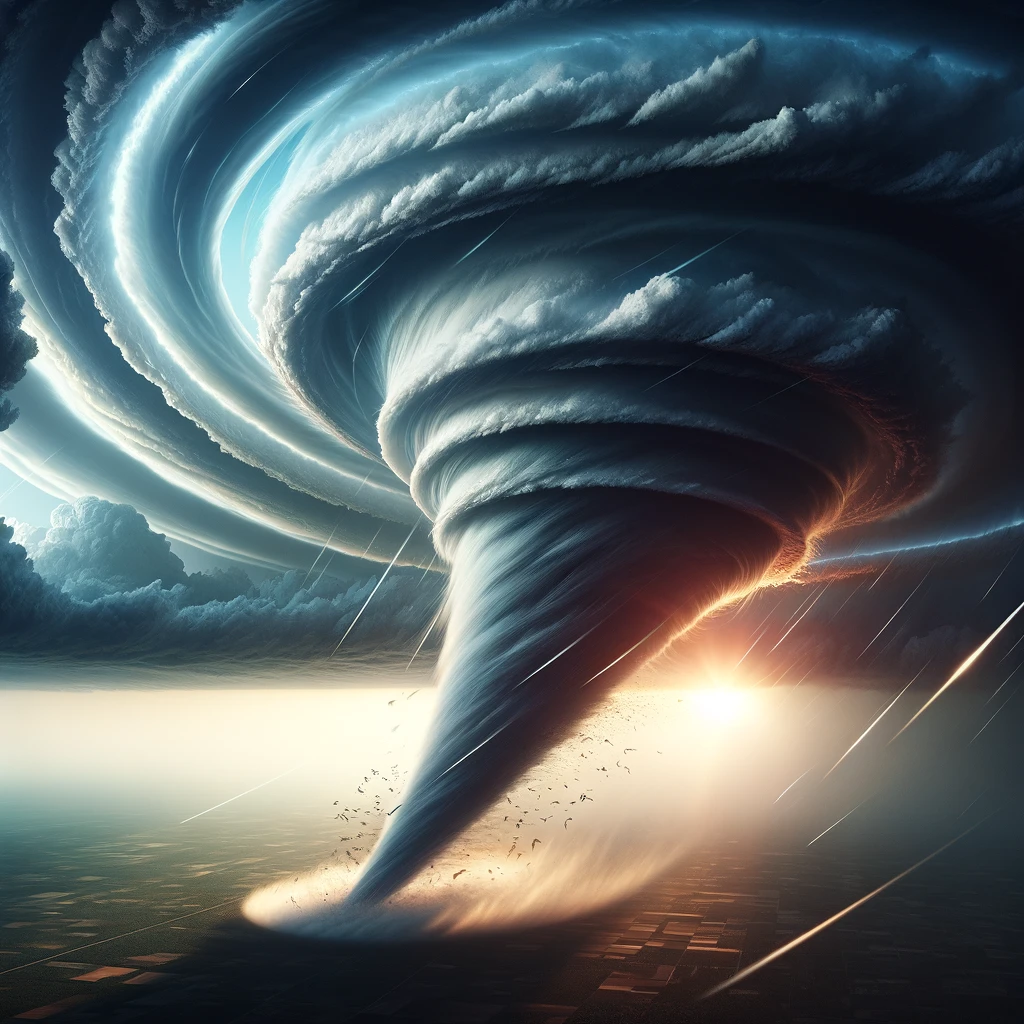
How do tornadoes get their shape? Tornadoes get their distinctive funnel shape through a complex interaction of atmospheric conditions, primarily involving the rotation of a supercell thunderstorm and the presence of significant wind shear in the environment. This funnel, made visible by the condensation of water droplets and debris, forms as a result of rapidly spinning air that extends from the base of a storm cloud to the ground. Understanding the formation and structure of tornadoes is crucial for meteorology and helps in predicting these dangerous phenomena to mitigate their impact. This article delves into the atmospheric dynamics behind the formation of tornadoes, exploring how these powerful forces of nature acquire their iconic shape.
The Birth of a Tornado

The birth of a tornado, a phenomenon both mesmerizing and fearsome, unfolds from a confluence of atmospheric conditions that transform serene skies into powerful storms capable of producing these spinning columns of air. Central to this transformation is the development of a supercell thunderstorm, the only type of storm that can spawn the most violent tornadoes.
The lifecycle of a tornado begins well before its visible manifestation. It starts with the formation of a supercell, which is distinguished by its rotating updraft, the mesocyclone. This rotation is critical and results from specific wind shear conditions: a change in wind speed and direction with height that imparts a horizontal spinning effect to the air. When this horizontally rotating air is drawn into the supercell’s updraft, it’s tilted vertically, amplifying the storm’s rotation and setting the stage for a tornado’s potential emergence.
The precise moment of a tornado’s birth occurs when the mesocyclone’s rotation tightens and intensifies, a process often hastened by the rear-flank downdraft—an area of cool, descending air that wraps around the back of the mesocyclone. This downdraft can act to concentrate the rotation near the ground, forming a tornado vortex that becomes visible as it picks up water vapor, dust, and debris. The resulting funnel cloud, once it touches down, is officially classified as a tornado.
This intricate dance between atmospheric elements underscores the complexity of tornado formation. It’s a process influenced by the larger dynamics of the storm and the environment, requiring a precise alignment of conditions. Understanding these conditions is not just an academic pursuit but a vital aspect of weather forecasting and safety, as recognizing the signs of tornado formation allows for timely warnings and potentially saves lives.
Wind Shear and Rotation

Wind shear, a critical factor in tornado genesis, refers to the variation in wind speed and direction with height. Significant wind shear can cause the air near the ground to rotate horizontally. When this horizontally rotating air is caught in a supercell’s updraft, it can be tilted into a vertical orientation, creating a rotating column of air within the thunderstorm.
The Funnel Cloud Forms
As the mesocyclone strengthens, the pressure inside it drops, causing the air to cool and moisture to condense into water droplets, forming a cloud. This cloud, initially invisible, becomes visible as a funnel cloud when the condensed water droplets reflect sunlight. The funnel’s shape is a result of the pressure gradient and the centrifugal force acting on the rotating air, pulling it inward and downward towards the ground.
Touchdown and Tornado Formation
Not all funnel clouds reach the ground, but when they do, they become tornadoes. The funnel narrows as it stretches towards the earth due to the conservation of angular momentum, which dictates that as the radius of rotation decreases, the speed increases. This effect, coupled with the funnel’s contact with the ground, picks up debris and dust, making the tornado more visible and defining its characteristic shape.
The Role of the Rear Flank Downdraft
The rear flank downdraft (RFD) is a body of cool air that descends within the supercell, wrapping around the backside of the mesocyclone. The RFD can enhance the rotation near the surface and contribute to the tightening and lowering of the funnel cloud, aiding in the formation of a tornado. The interaction between the RFD and the mesocyclone’s rotation is a key element in determining the size, shape, and strength of the tornado.
Variability in Tornado Shapes
While the classic image of a tornado is a narrow funnel reaching from the cloud base to the ground, tornadoes can vary widely in shape and size. Some tornadoes appear as wide wedges, while others can be slender and rope-like. These variations are influenced by the tornado’s strength, the amount of moisture in the air, and the particular atmospheric conditions at the time of formation.
Understanding and Predicting Tornadoes
Meteorologists use radar, satellite imagery, and ground observations to understand and predict tornado formation. By studying the conditions that lead to tornado development, scientists can issue warnings, helping to save lives and reduce property damage. Research into tornado dynamics also focuses on understanding how different shapes and sizes of tornadoes are produced, aiming to improve prediction models and warning systems.
Tornadoes get their shape from the complex interplay of atmospheric conditions that lead to their formation. The processes of wind shear, mesocyclone rotation, and pressure differences within supercell thunderstorms culminate in the creation of these powerful and often destructive natural phenomena. Understanding the mechanics behind tornado formation not only satisfies scientific curiosity but also plays a crucial role in weather forecasting and disaster preparedness. As research continues to unravel the mysteries of tornadoes, the goal remains to enhance our ability to predict and respond to these formidable forces of nature, minimizing their impact on human lives and communities.

